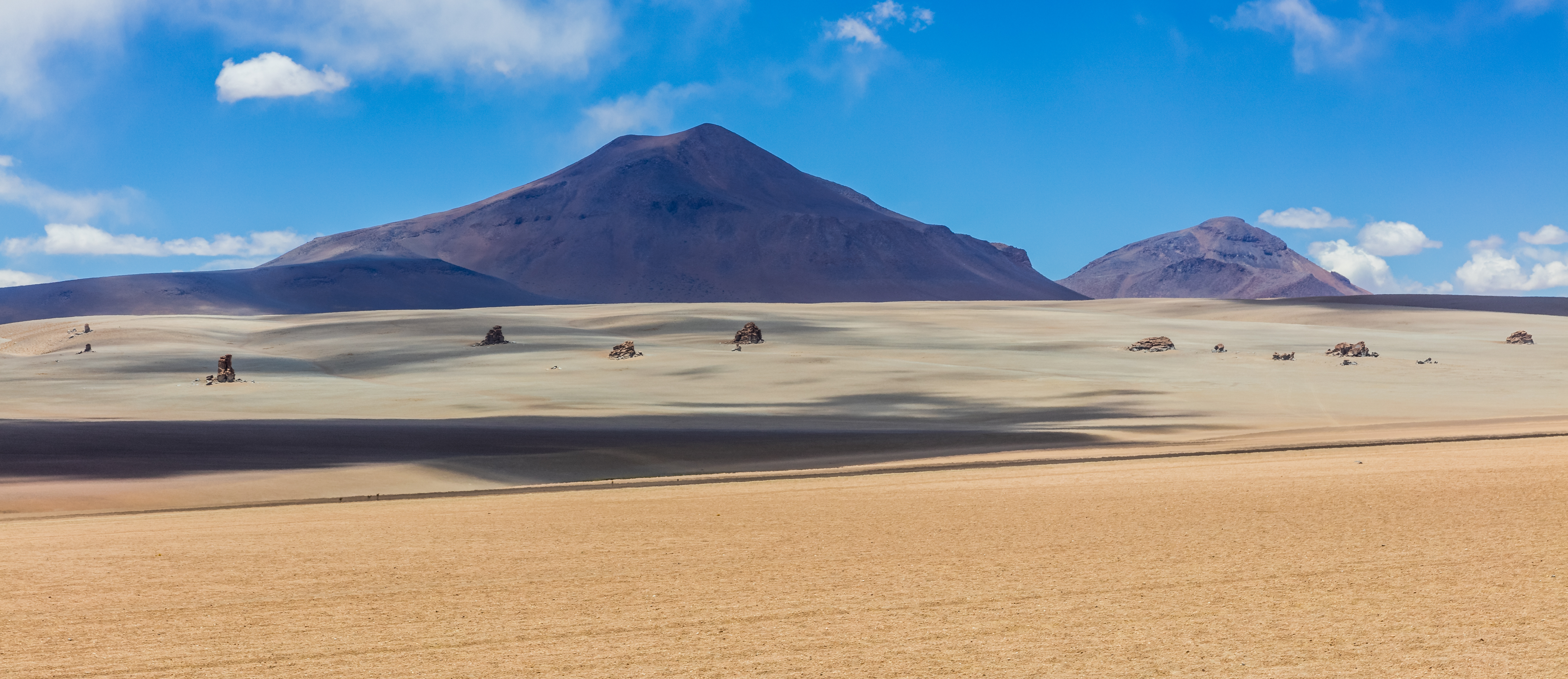
At 4,500m in the Sud Lípez, the horizon does the same trick every day: it looks featureless until you actually have to walk across it with only a compass bearing to trust. That's the whole exercise. Freddy Mamani hands the group a map and a target each morning, and from there the navigation, the pacing, the decision to detour around a ridge or push straight over it, is yours.
The terrain does the teaching. A volcanic cone that looked close on the map turns out to be three hours away. A bearing that felt right drifts you off course if you don't correct for it. You'll make real navigation mistakes here, in a landscape empty enough that a mistake costs you hours, not your safety, with a support vehicle never far off. By the time you reach Laguna Colorada's red mineral shoreline on the last stretch, you'll have actually earned the read of that map, not just followed someone who already had.